

Alpine Run 2024
Course-Info Südtirol Drei Zinnen Alpine Run
Through the monumental landscape of the Sesto Dolomites
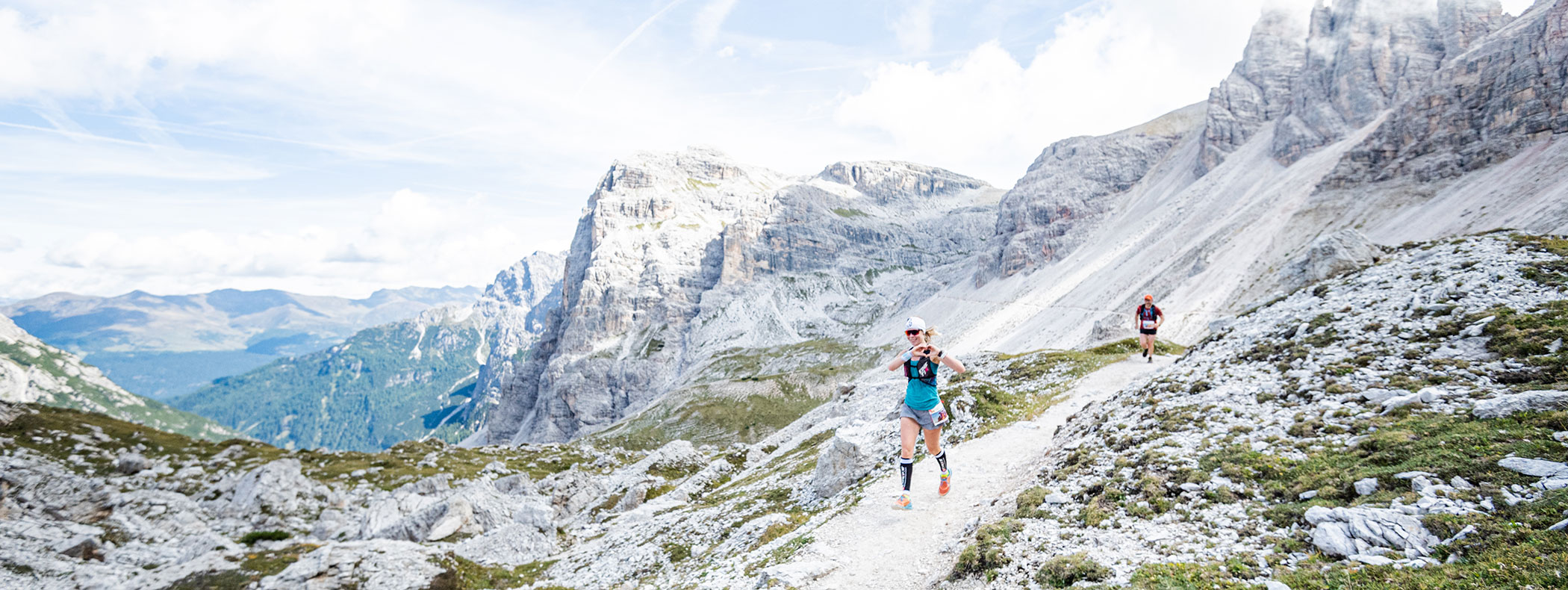
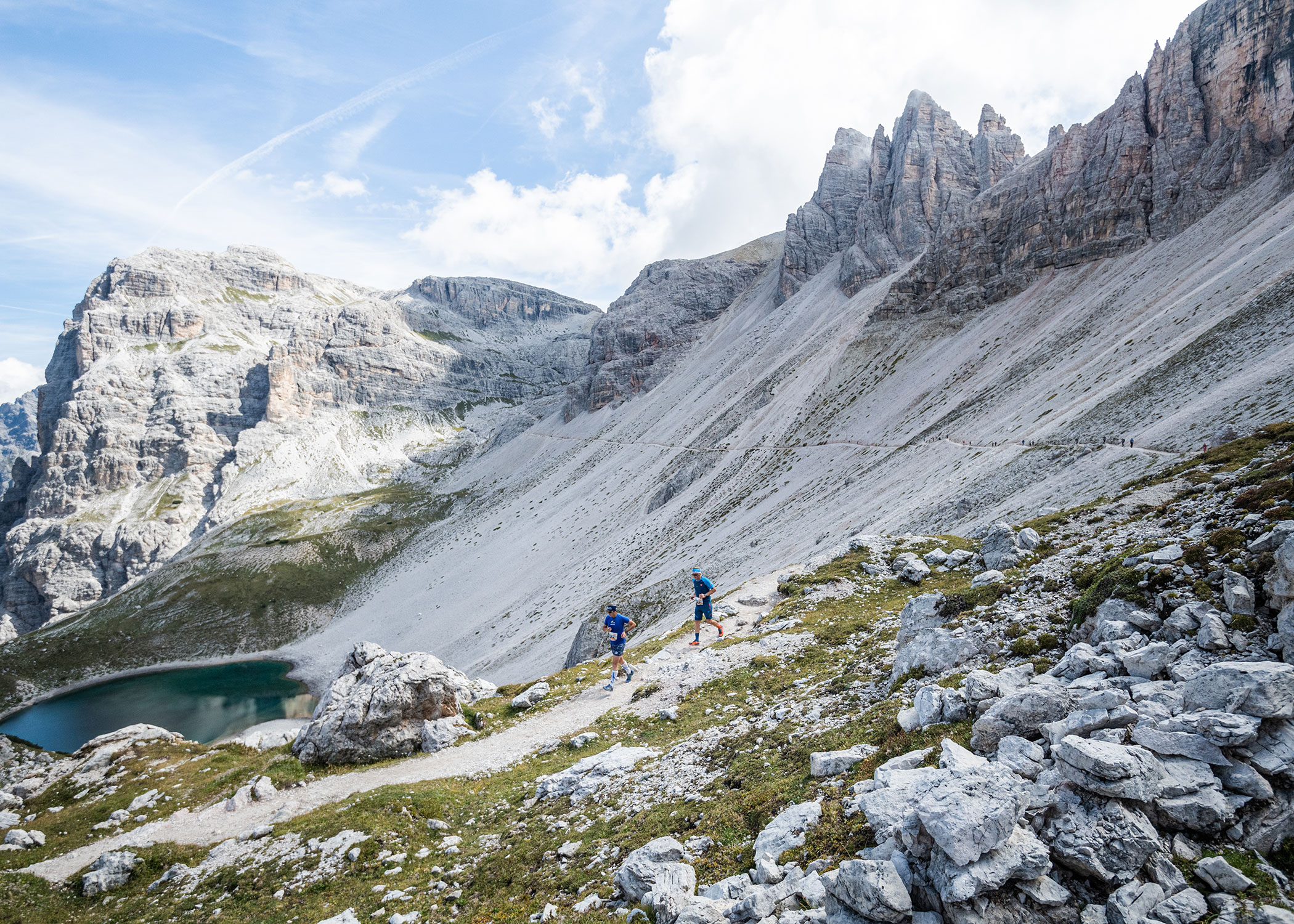
The run has been taking place on the original route, a 17 km long route through beautiful landscape covering an altitude differential of 1,333 metres. From Bülllejoch/Pian di Cengia the route winds downhill for a short stretch before rising to the Dreizinnenhütte hut/Rif. Locatelli directly above the Bödenseen/Laghi dei Piani.
Route description 2022
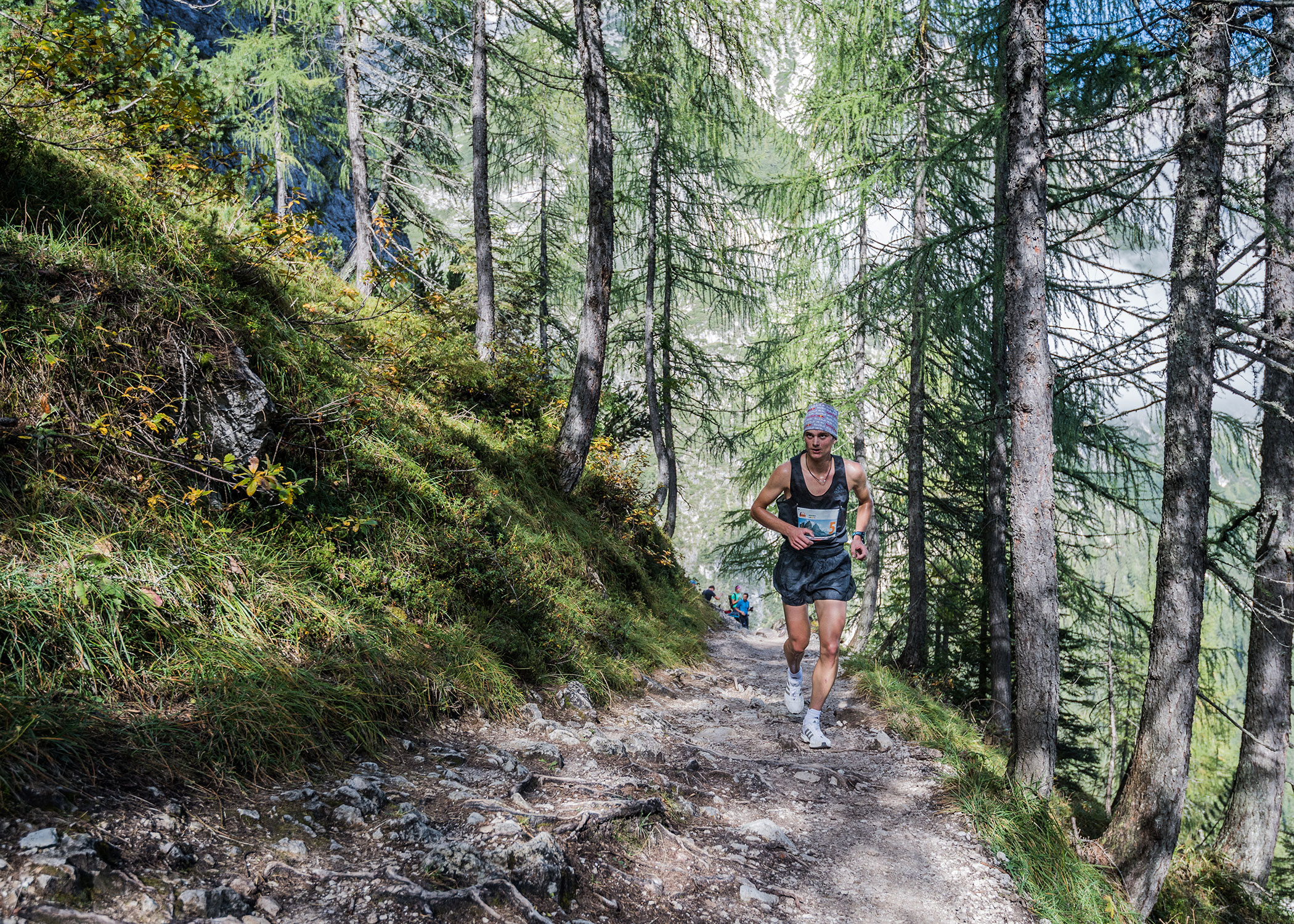
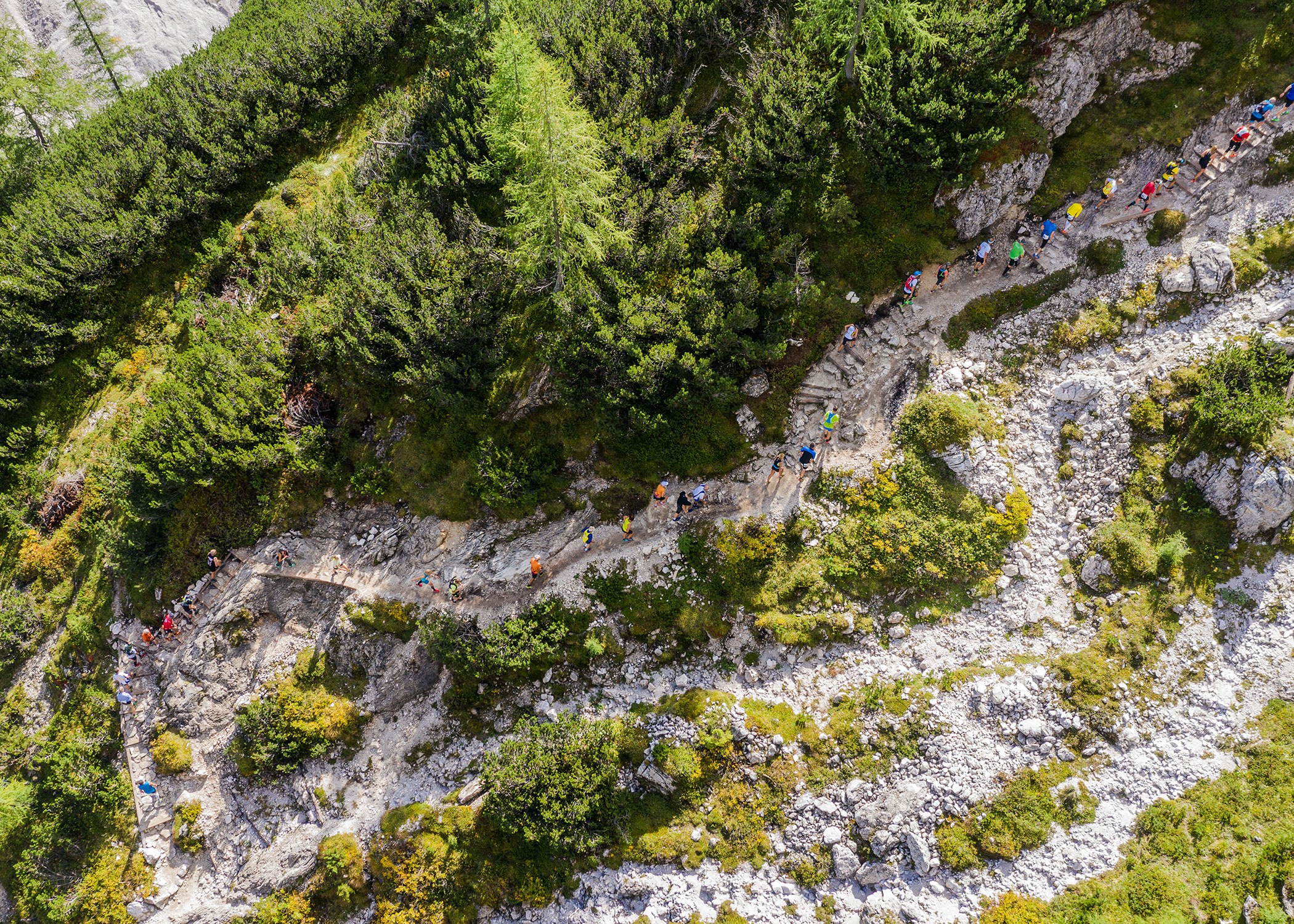
After the start at the Haus Sexten the broad road is crossing the main street to Moos, a little village. After that, the course will go
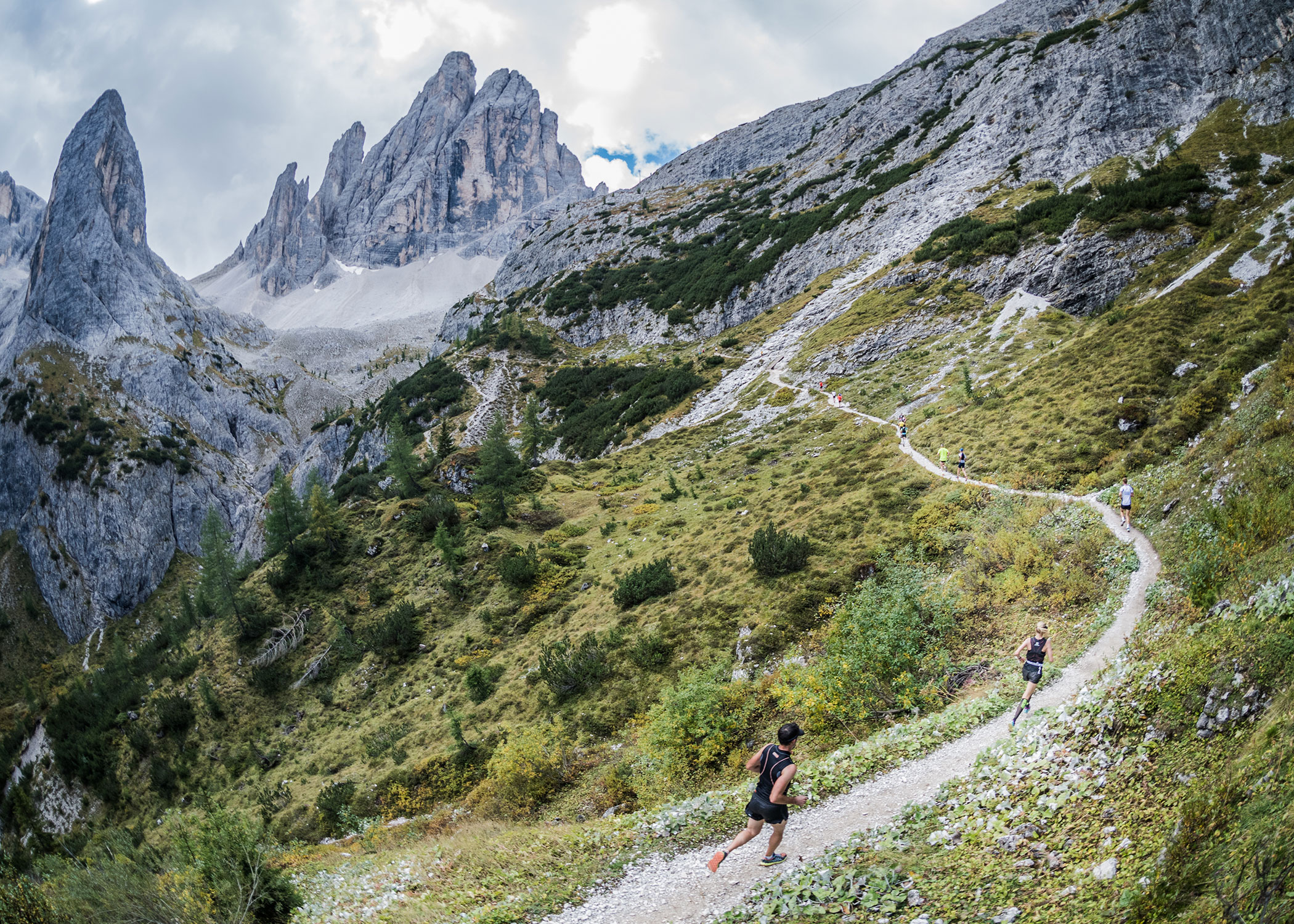
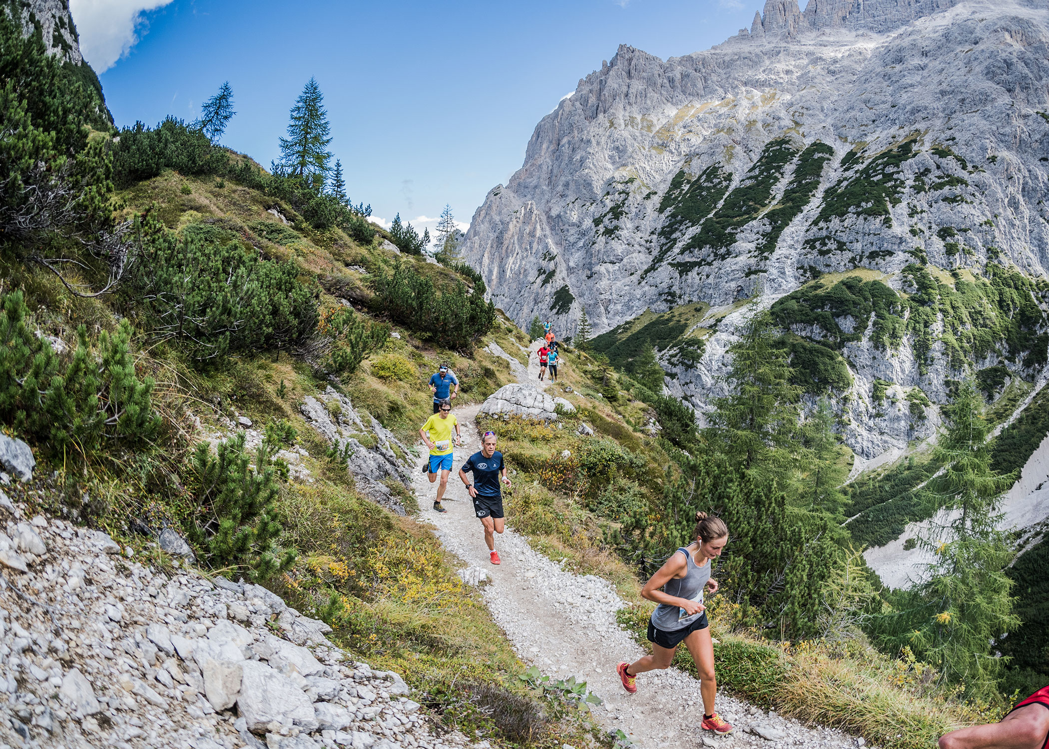
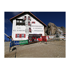
through the rich green larch meadows of Fischleintal/Val Fiscalina, the most beautiful valley in the world, and the athletes run to Talschlusshütte/Rifugio Fondo Valle. Shortly after Talschusshütte at the crossroads the route bends left towards Zsigmondyhütte/Rifugio Comici.
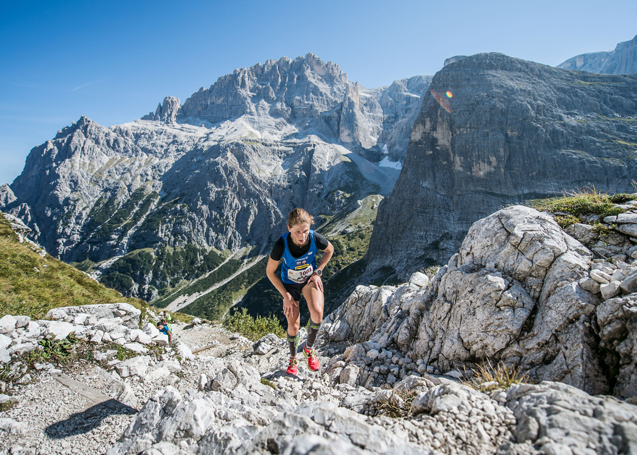
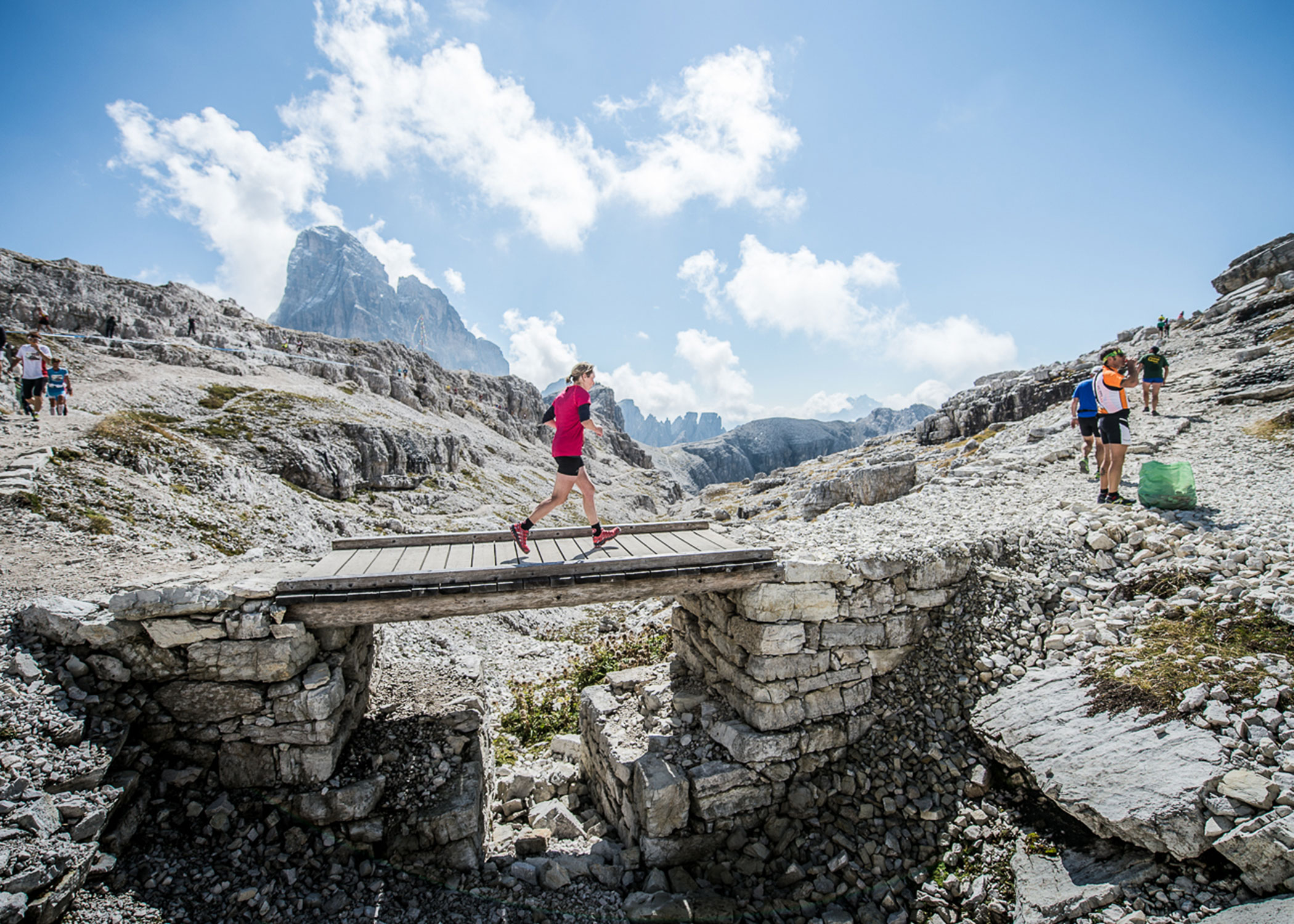
The hairpin turns to Zsigmondyhütte and on to Büllelejoch/Pian di Cengia at 2,575 m altitude. This part of the track is testing the fitness of the athletes. Only the best can make it.
From Büllelejoch the route continues with the backdrop of Paternkofel/Monte Paterno above the Bödenseen on to the Dreizinnenhütte.

Thanks to


Südtirol Drei Zinnen Alpine Run
ALV Sextner Dolomiten
Via Dolomiti 45 | 39030 Sexten/Sesto (BZ)
ALV Sextner Dolomiten
Via Dolomiti 45 | 39030 Sexten/Sesto (BZ)
![]()
